Where is it?
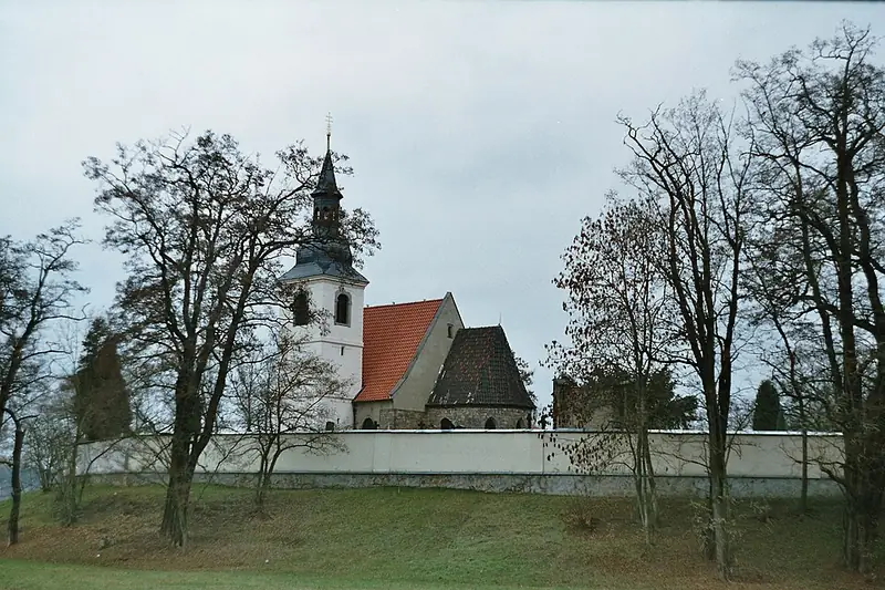
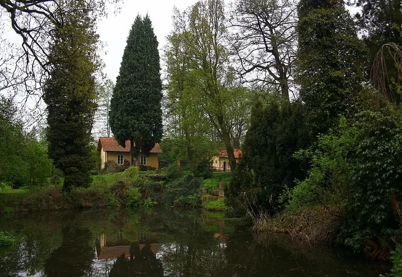
Do you know Plzeň from a photo? 5 new photos of places, neighbourhoods and parks every day: tap the map where you think each was taken. The closer, the more points.
Yesterday’s photos and answers
Where yesterday’s photos were taken. Today’s answers appear here tomorrow.



About the game
Where is it? is a daily game for anyone who wants to know Plzeň better: locals, newcomers and people still choosing where to live. The photos show streets, parks and well-known places, and every answer links to a page with rents, schools, transport and residents’ reviews. The more neighbourhoods you know, the easier it is to choose where to live.
Frequently asked questions
How do you play Where is it?
Every day you get 5 photos from Plzeň: neighbourhoods, parks and well-known places. For each, tap the map where you think it was taken and confirm. We show the right spot, how far off you were and your points. Everyone plays the same photos on the same day, so you can compare results.
How are the points counted?
Each photo is worth up to 1,000 points: a spot-on guess 1,000, a kilometre off about 500, three kilometres about 140, seven kilometres or more almost nothing. For a neighbourhood, the distance is to its centre.
Where are the photos from, and do I need an account?
The photos are from Wikimedia Commons and other freely licensed sources, each with its author. No account needed: your browser remembers today’s guesses and your stats.