Přízřenice: nature and quiet
Přízřenice: parks and greenery, noise by day and night, air, summer heat, radon, floods and tap water.
Parks and greenery
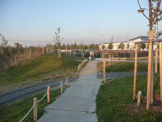
Parks and forests in Přízřenice
- Olympia park 4.5 ha
Details
Parks, forests and all greenery (plus gardens, meadows, orchards, vineyards, allotments, cemeteries) are counted from the neighbourhood’s area, the distance to a park (from 0.2 ha) or forest (from 1 ha) as the crow flies as the median over the neighbourhood’s addresses.
Which neighbourhoods floods threaten most →
Where the air is cleanest →
Which neighbourhoods stay coolest in summer →
Where the trees are →
Which neighbourhoods have the lowest radon →
Which neighbourhoods have the most stable ground →
Frequently asked questions
Is there traffic noise in Přízřenice?
74 % of addresses have all-day traffic noise above 60 dB (2022 strategic noise map, Lden). The median of Brno’s neighbourhoods is 56 %.
How far is a park or forest from Přízřenice?
Half of the addresses have a park or forest within 459 m. The median of the city’s neighbourhoods is 157 m.
Is Přízřenice in a flood zone?
28 % of the addresses in Přízřenice lie within the 100-year flood (VÚV TGM map). In Brno it is 8.1 % of addresses.
What is the radon index in Přízřenice?
By the Czech Geological Survey map, the bedrock under Přízřenice has a mostly low radon index; no address has a high one (city-wide 0 % of addresses). A measurement decides for a given house.
← Back to the overview of Přízřenice